Travel Guides
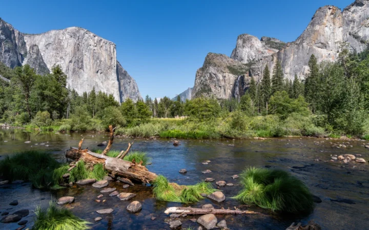
Yosemite Valley Map With Viewpoints on Both Sides
A Yosemite Valley map is easier to use once you know which road carries you in and which takes you out. A viewpoint across…
Learn geography
Practical geography-led travel guides that explain where places are, how regions connect, and what visitors should know before planning a trip.
A Yosemite Valley map is easier to use once you know which road carries you in and which takes you out. A viewpoint across…
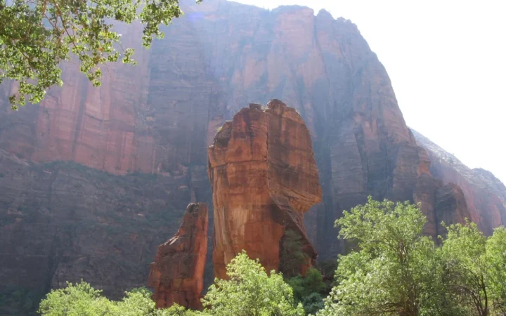
Zion Canyon Scenic Drive follows the floor of the main canyon, not the highway through Zion’s east entrance. The distinction matters when you arrive…
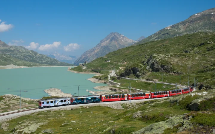
The Bernina Railway crosses the Alps from Switzerland’s Upper Engadin to Tirano, Italy. The panoramic Bernina Express is the best-known train on it, but…
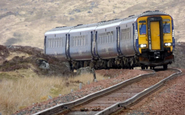
The West Highland Line gives you two very different rides out of Glasgow. The rails are shared as far as Crianlarich, but after that…
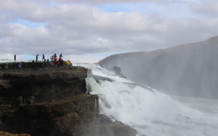
Iceland’s Golden Circle ties together a national park, a field of geysers and a waterfall in the southwest. The three main stops are easy…
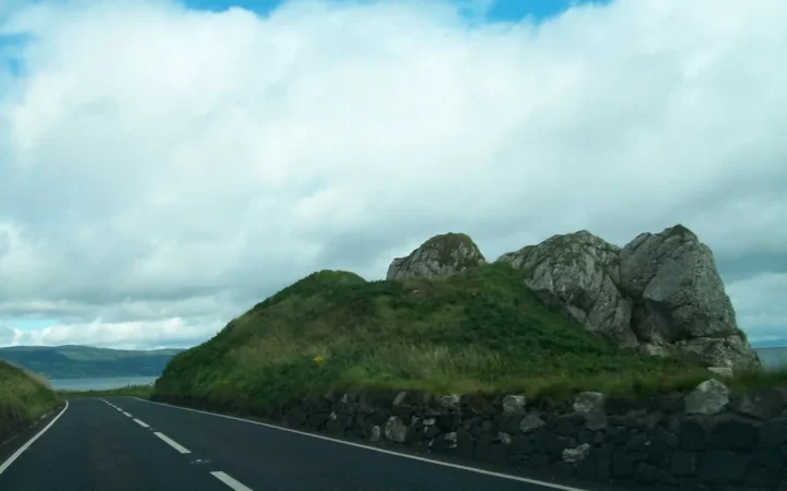
The Causeway Coastal Route links Belfast and Derry~Londonderry along the northern shore of Northern Ireland. Following the coast road through the Glens of Antrim…
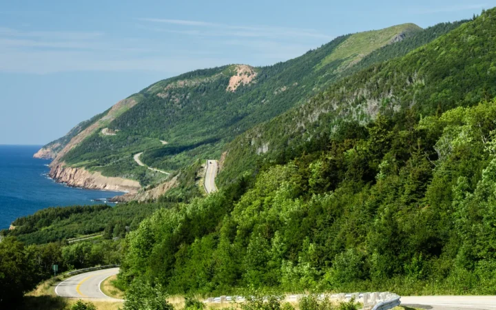
The Cabot Trail loops around northern Cape Breton Island, but most of the drive lies outside the national park. A workable itinerary starts with…
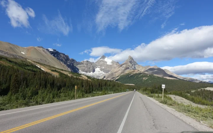
The Icefields Parkway is a mountain drive between Lake Louise and Jasper, not a string of stops clustered around one town. Group the lakes,…
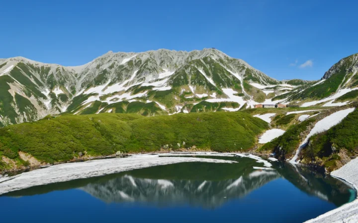
The Tateyama Kurobe Alpine Route crosses the Northern Japanese Alps on a chain of buses, cable cars and a ropeway. Getting to the starting…
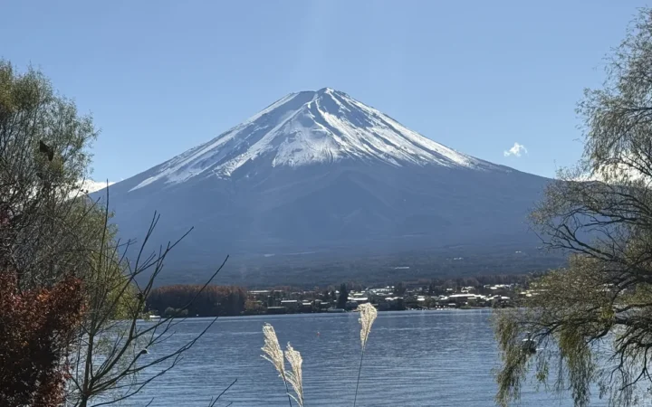
A car-free Fuji Five Lakes itinerary works best when you plan it around bus corridors rather than the number of lakes on the map.…