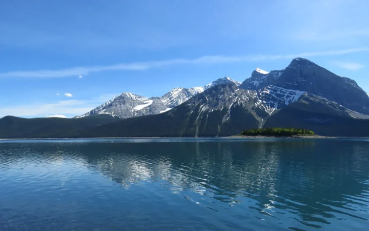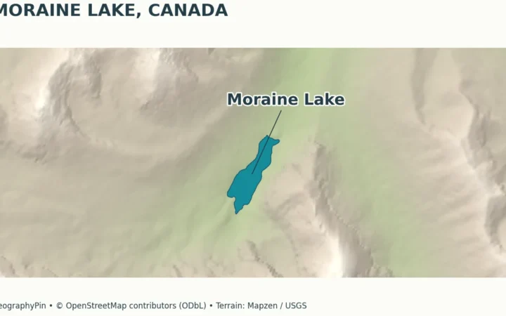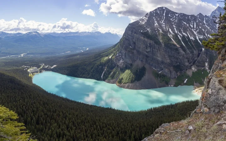
The Ogilvie Mountains are often introduced through the striking peaks around Tombstone, but that familiar view represents only part of a much larger northern mountain region. The useful starting point is to separate the physical ranges, the park and the highway that crosses the landscape.
The Ogilvie Mountains form a mountain region in western Yukon and adjoining Alaska. Tombstone Territorial Park protects part of the southern landscape, while the Dempster Highway crosses contrasting mountain terrain. The ranges, park and surrounding wilderness are not interchangeable boundaries; their rocks, glacial history and permafrost conditions vary locally.
Explore the region: Decode the two map boundaries, compare glacial histories, or check the measurement distinctions.
1. Where are the Ogilvie Mountains?
The Ogilvie Mountains occupy western Yukon and extend into adjoining Alaska in the physiographic mapping used below. They are a mountain region containing several ranges, not one summit. Tombstone Territorial Park lies in their southern part, while the Dempster Highway provides a corridor through contrasting parts of the mountain landscape.
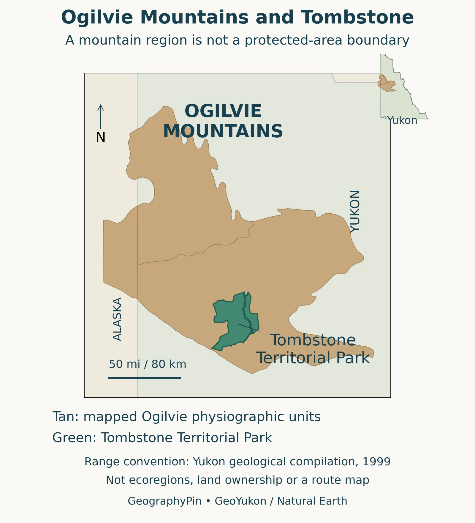
How to read the two boundaries
The GeoYukon: Physiographic regions, 1:250,000 groups named Northern Ogilvie, Ogilvie and Southern Ogilvie units under the composite name Ogilvie Mountains. The map follows that documented convention rather than drawing a new outline from the appearance of mountain peaks.
The green overlay comes from a separate protected-area dataset. Where it overlaps the tan region, the ground belongs to both a physical mountain region and a named park. Outside the green shape, the tan color does not establish land ownership, public access or legal protection.
2. Why the terrain changes along the range
The Pyle and colleagues (2007): Roadside Geology of the Dempster Highway describes substantial contrasts between the southern and northern Ogilvies. Around the Tombstone Range, resistant intrusive rocks contribute to sharp, steep-fractured skylines. Farther north, sedimentary rocks including limestone and dolostone form many ridges and cliffs, with shale beneath some valleys.
Intrusive rocks crystallized from magma underground; sedimentary strata formed from accumulated material. Their different properties help explain why one southern skyline cannot represent the entire range.
The guide also describes castellated northern ridges: rock remnants resembling battlements along a crest. Such shapes illustrate the combined importance of rock properties, structures and weathering. They are not evidence that every ridge was carved by the same glacier.
Not all the mountains share one glacial history
The official Ecoregions of the Yukon Territory: North Ogilvie Mountains, pages 123–126 describes the northern ecoregion as largely ice-free during the most recent glacial event, while retaining evidence of older glaciations. The Yukon Geological Survey: Glacial limits, 1:1,000,000 likewise distinguishes restricted late-Pleistocene ice caps in the Ogilvies from the much more extensive ice elsewhere in Yukon.
“Unglaciated” therefore needs a place and a time attached to it. Calling the whole range either completely ice-covered or never glaciated would erase an important contrast. The landscape can preserve older erosion surfaces in one area and evidence of glacial modification in another.
3. Tombstone is a park within the mountains
The Tr’ondëk Hwëch’in Government: Ddhäl Ch’èl Cha Nän identifies Tombstone Territorial Park as Ddhäl Ch’èl Cha Nän, meaning “ragged mountain land.” The park covers about 849 square miles (2,200 square kilometers) and lies within Tr’ondëk Hwëch’in Traditional Territory. Its designation is a legacy of the land-claim agreement.
That figure measures the park, not the whole Ogilvie mountain region. The distinction is especially useful when a search or photograph loosely describes an “Ogilvie Mountain wilderness.” Scenic remoteness is not the same thing as a single formally designated protected area with that name.
The First Nation’s account describes enduring relationships with the land, place names and cultural activities. It also identifies the Blackstone Uplands as important to Tr’ondëk Hwëch’in and Gwich’in people. Describing the scenery as empty or without human history would miss this essential part of its geography.
The park’s cultural history and its physical terrain should be read together. A protected-area outline explains where a designation applies; it does not contain the full extent of a people’s traditional territory or summarize all their connections to the wider landscape.
4. Permafrost is below the surface, not just snow on top
The International Permafrost Association: What is permafrost? defines permafrost by ground temperature: ground remains at or below 32°F (0°C) for at least two consecutive years. It can include soil and rock, with or without substantial ice. A white patch of seasonal snow in a mountain photograph is not enough to establish what is happening underground.
A Nicholson and colleagues (2026): testing permafrost models in two Ogilvie valleys studied measurement difficulties in two Ogilvie valleys. The authors describe strong local temperature differences associated with terrain, vegetation, snow and other surface conditions. Their work cautions against treating a broad regional permafrost classification as a precise map of every slope.
The study’s field sampling was designed to investigate how well researchers could test conditions. Unsuccessful penetration by a probe was not proof that permafrost was absent, and the proportion of successful measurements was not a percentage map of frozen ground across the mountains.
For visitors, the Government of Yukon: Tombstone Territorial Park provides an important practical warning: permafrost thaw may affect water quality, and natural water sources in the park are not guaranteed suitable for drinking or personal use. Clear-looking water is not a reliable safety test.
5. Valleys and high ground support different habitats
The region is not uniformly bare rock or uniformly treeless tundra. A Jung (2026): small-mammal habitat associations in Tombstone Territorial Park examined small mammals across lowland forest, subalpine shrubland and alpine habitats in Tombstone Territorial Park. The field sampling took place in 2005; the 2026 publication should not be mistaken for a census conducted that year.
That study found meaningful differences associated with moisture, elevation and habitat type. Lowland habitats supported different assemblages from the high alpine sites. A generalized photograph of mountain tundra therefore cannot describe all the environments available to wildlife in the park.
The contrast between tundra and taiga helps interpret the larger setting, but local mountain terrain complicates any simple north-to-south band. Valleys, slopes and exposed ridges can support different conditions over a short distance.
6. The Dempster corridor is not the whole wilderness
The Dempster Highway offers access to a cross-section of the landscape, but roadside scenery is only part of the mountain region. The official park page places the Tombstone Interpretive Centre at kilometer 71.5, approximately mile 44.4, measured along the highway. That is a road-distance marker, not the mountain range’s length or a straight-line distance from Dawson City.
The centre provides a starting point for current park information. Use official guidance for permits, access and conditions rather than applying a regional map as though it were a detailed trail plan. The 2007 geological guide remains useful for understanding rocks, but its historical travel directions are not a guarantee of present-day access.
Three map quantities that should stay separate
| Quantity | What it describes |
|---|---|
| Mountain-region outline | A physiographic mapping convention, not a park or land-ownership boundary. |
| About 849 sq mi (2,200 km²) | Tombstone Territorial Park’s reported area, not the size of the Ogilvie Mountains. |
| Highway kilometer marker | Distance along the road reference system, not summit elevation or straight-line distance. |
Frequently Asked Questions
Is the North Ogilvie Mountains ecoregion the same as the whole range?
No. An ecoregion combines environmental characteristics under a particular classification. Yukon’s ecoregion account discusses differing physiographic groupings, including neighboring ranges. Its outline should not be silently substituted for the full Ogilvie mountain region.
Can I plan a hike using the map on this page?
Use it to understand regional relationships, not to navigate a hike. It does not show a surveyed trail network, hazards, permitted camping locations or current access conditions. Obtain detailed mapping and current park guidance for an actual route.
What Did We Learn Today?
The Ogilvies contain contrasting rocks, glacial histories and habitats. Tombstone is one protected area within the broader mountain setting, not another name for all of it. Permafrost requires evidence about ground conditions, and cultural connections extend beyond the scenery visible from the highway.
Sources & Data Notes
The range map uses the physiographic convention in Gordey and Makepeace’s 1999 Yukon digital geology compilation, not an ecological or legal boundary. Three official GeoYukon units share the composite name Ogilvie Mountains. Park outlines come from a separate generalized 1:250,000 dataset; the map is not a cadastral survey. The main view is equirectangular at 65.4°N, with an approximate scale and an independently scaled Yukon inset.
Cartography: GeographyPin. Government of Yukon/GeoYukon data: Contains information licensed under the Open Government Licence – Yukon. Territorial basemap: Natural Earth, public domain. No government endorsement is implied. The 2007 geology guide supplies geological interpretation, not current road or trail instructions. Research findings retain their study scope and sampling dates.
- GeoYukon: Physiographic regions, 1:250,000
- GeoYukon: Parks and protected areas, 1:250,000
- Pyle and colleagues (2007): Roadside Geology of the Dempster Highway
- Ecoregions of the Yukon Territory: North Ogilvie Mountains, pages 123–126
- Yukon Geological Survey: Glacial limits, 1:1,000,000
- Government of Yukon: Tombstone Territorial Park
- Tr’ondëk Hwëch’in Government: Ddhäl Ch’èl Cha Nän
- International Permafrost Association: What is permafrost?
- Nicholson and colleagues (2026): testing permafrost models in two Ogilvie valleys
- Jung (2026): small-mammal habitat associations in Tombstone Territorial Park
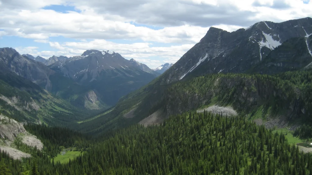
Featured photograph: Mountain scenery in Tombstone Territorial Park, Yukon. Photo: Geoff McDonald / Wikimedia Commons, public domain; cropped and converted to WebP. This photograph does not establish current snow or access conditions.