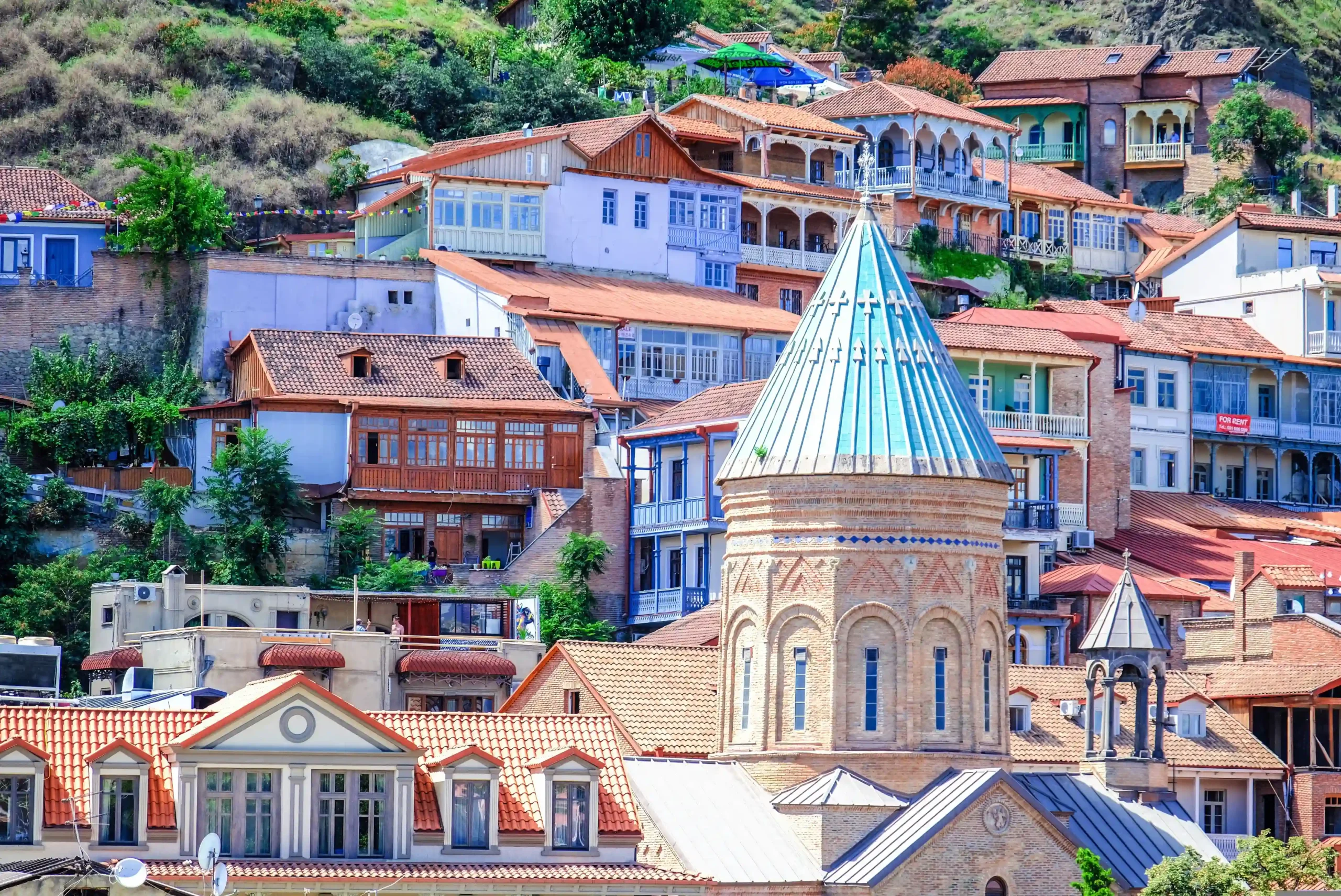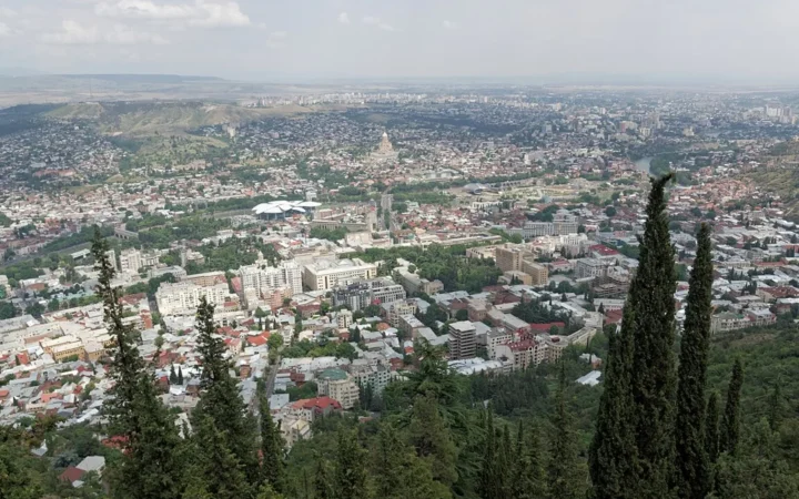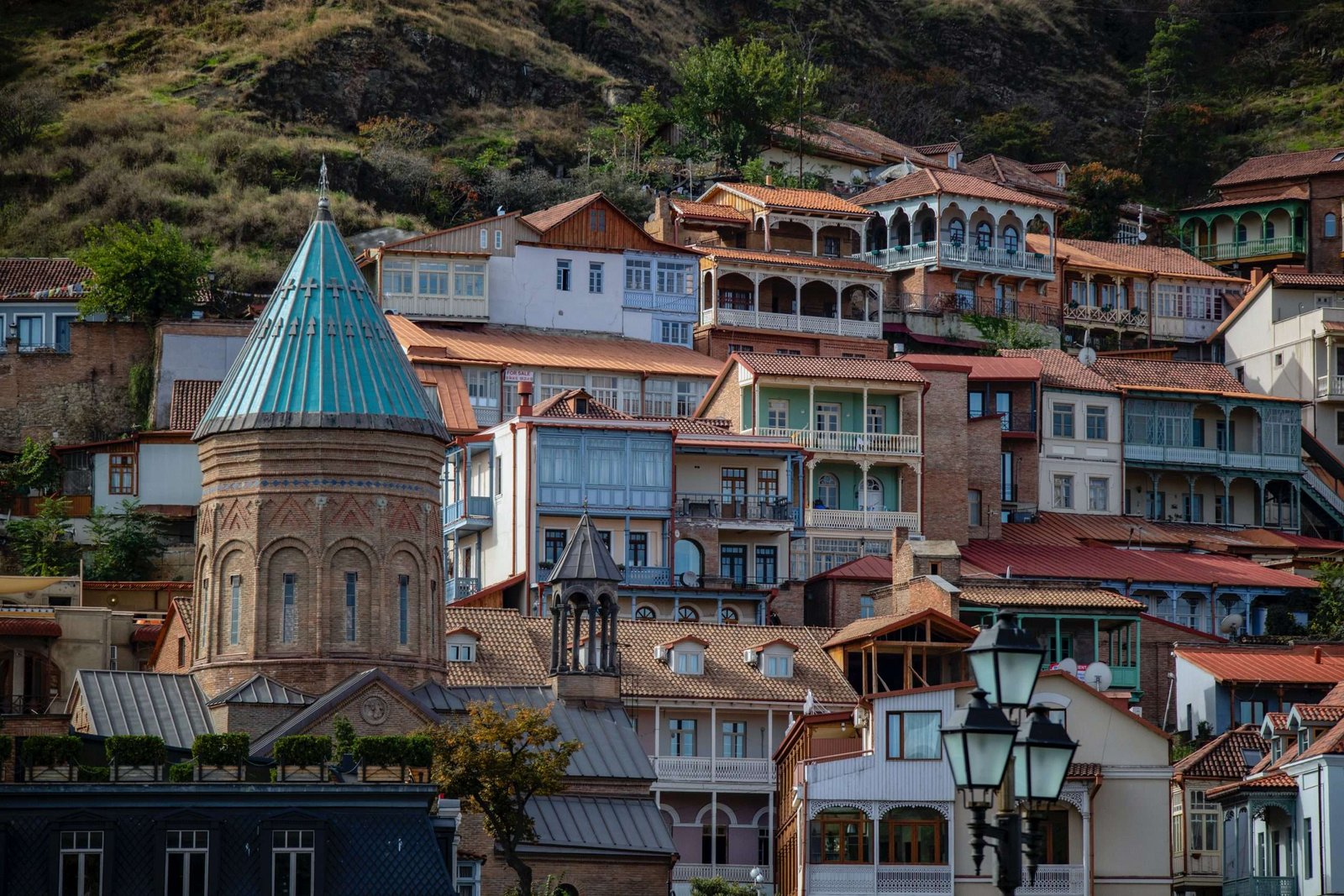
Old Tbilisi is easier to enjoy when the bath district, riverside lanes and hilltop are not treated as one continuous climb. Start with a small group of lower-town sights, then decide whether a bath appointment or cable-car outing belongs in the same day.
From the bath domes to the river
This Old Tbilisi walk links Meidan, the bath district, Shardeni, Sioni and Erekle II Street before crossing Peace Bridge to Rike. The mapped route is about 0.83 miles (1.34 kilometers), including the bathhouse out-and-back. It includes steps; the optional cable-car round trip is separate and does not promise fortress access.
How to use this article: Begin with the six-stop route key, check the cable-car option, or decide where a bath booking fits.
Planning information checked: November 18, 2026. The map uses published pedestrian connections, not a field inspection; works and local access controls can change the route.
1. Choose the lower walk before adding the hill
“Old Tbilisi” here means a selected historic-center walk, not an exhaustive district boundary. Kala, Meidan and Abanotubani are the focus, with one river crossing at the finish. For the wider setting rather than another itinerary, read Tbilisi’s geography and history.
Choose the lower route if your priority is street-level detail: bath domes, church architecture and the change from narrow lanes to the river. As a planning allowance, leave a couple of hours for looking around and pauses, not as a measured walking time. A bath session, meal or cable-car queue comes on top.
Lower does not mean flat or step-free. The mapped Shardeni approach includes stairs, and street crossings, kerbs and gates also matter. If stairs are a barrier for you, do not rely on this route as an accessible itinerary; choose individual stops with a locally confirmed approach instead.
2. Follow six stops from Meidan to Rike
The six numbered stops on the map
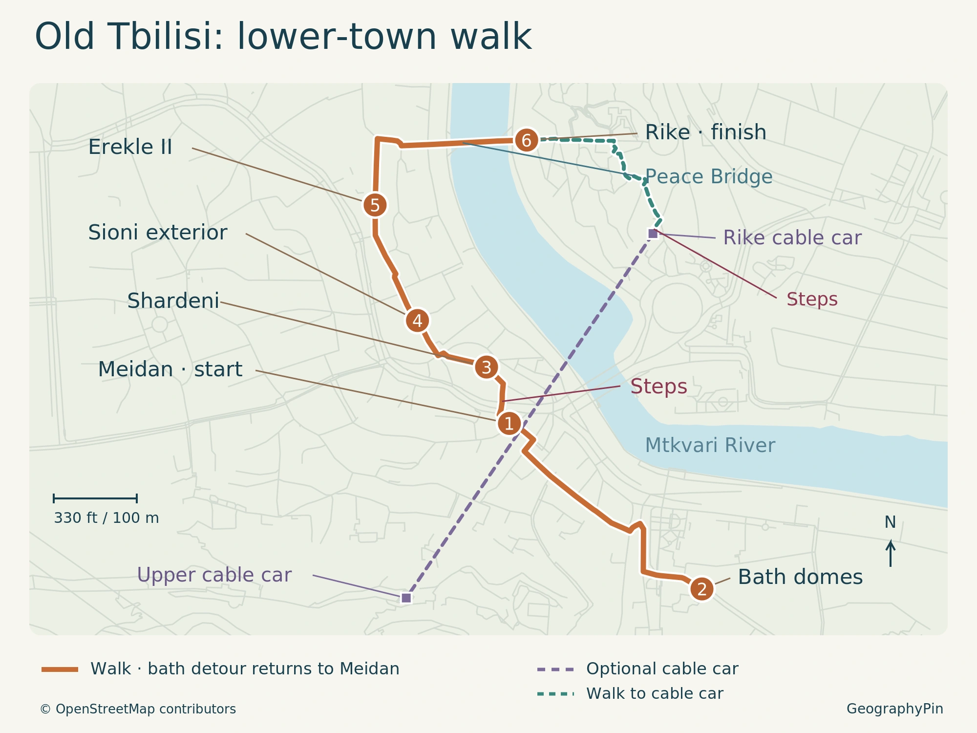
- Meidan: begin at Vakhtang Gorgasali Square.
- Abanotubani: follow Samghebro, Botanikuri and Abano streets toward the bath domes, then return to Meidan.
- Shardeni: take the marked stair approach to Jean Chardin Street.
- Sioni: continue to the exterior stop on Sioni Street.
- Erekle II: follow the street, then Erekle Meori 2nd Lane toward the bridge.
- Rike: cross Peace Bridge and finish at its eastern end.
At Meidan, the street names are part of the story. Georgia’s tourism administration describes the surrounding trading quarter through names associated with bread, cotton, metalworking and other occupations. Shardeni, also written Chardin, is named for the French traveler Jean Chardin.
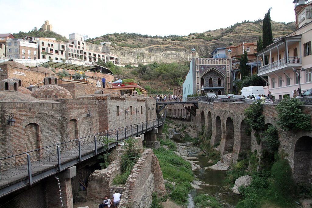
The bath district provides a different kind of landmark: low brick domes rather than a single tall monument. The Abanotubani baths draw on natural hot springs, and the district’s Georgian name combines the words for bath and neighborhood. The mapped stop is a public-street viewing point, not the entrance to a reserved bath room.
Sioni Cathedral has early medieval origins and layers of rebuilding, so its exterior rewards a pause rather than a quick photograph in passing. The route stays on Sioni Street instead of using the courtyard as a shortcut.
The Development Fund’s 2026 restoration notice covers the cathedral roof, bell tower and potentially adjoining areas. Its planned October completion is not proof that all access has resumed. Observe from the available public lane; enter only if admission is actually permitted.
Beyond Erekle II Street, the Bridge of Peace changes the view from enclosed lanes to the Mtkvari River. Built in 2010, the pedestrian bridge connects this side of the historic center with Rike Park. Stop at the far end before deciding whether to add the hill outing.
3. Make the cable car a separate round trip
Up from Rike, then back by cable car
The optional mapped approach from the lower-walk finish to the Rike cable-car entrance is about 830 feet (253 meters) one way. It includes stairs. The dashed walking line and purple cable alignment are different: the latter is not a hillside footpath.
TTC’s November 1, 2026 winter notice schedules the Rike–Narikala cableway daily from 10 a.m. to 10 p.m., with that timetable effective until June 1, 2027. Confirm same-day operation and the last descent before going up.
The published fare, checked November 18, is 2.5 GEL one way, or 5 GEL for two rides before any card purchase. TTC lists a Metromoney card at 2 GEL. Do not assume a municipal unlimited-travel subscription includes this separately priced cableway.
Reaching the upper station does not establish access to Narikala’s grounds. The documented restoration project includes perimeter work, protective scaffolding and rockfall measures; a current visitor boundary has not been confirmed here. This option returns by cable car and does not send you through the fortress or along an unverified ridge path.
Betlemi is a different uphill outing. The tourism administration places its stair-street on a steep slope, with Lower and Upper Betlemi churches at different levels. Do not improvise a descent there from the cable station on the strength of an old itinerary.
4. Fit baths and breaks around the walk
Let a reserved room set the timing
A look at the domes is easy to separate from an actual bath visit. Georgia Travel’s bath guide distinguishes public bathing from private rooms and notes that interiors and facilities vary. Reserve ahead if a particular room or time matters; confirm what the room price includes and whether scrubs or other services cost extra.
If you book near the start of the day, do the bath detour at that appointment time and then continue from Meidan. Otherwise, finish the walk and return separately. Allow for arrival, changing and drying off instead of squeezing the appointment into the mapped walking distance.
Keep a meal break flexible unless you have another reservation. Choose somewhere that suits your appetite and budget rather than stopping only because it sits beside a numbered marker. For citywide food, lodging and the rest of your stay, use the full Tbilisi travel guide.
5. Know when to shorten the route
The mapped lower distance includes the bath out-and-back but excludes bath interiors, optional wandering and the cable-car approach. It is a route measurement, not a difficulty rating. Wear footwear you can manage on uneven or wet paving, and leave more time when balance, fatigue or carrying a stroller makes crossings and steps slower.
Use marked crossings, keep out of private courtyards unless invited, and turn back if a gate or works barrier blocks the mapped connection. Do not squeeze around fencing to preserve the itinerary. Ending early is preferable to inventing a shortcut through restoration grounds, the gorge or a hillside passage.
What Did We Learn Today?
Old Tbilisi works better as a few connected choices than as a race through every landmark. Follow the lower route for street-level sights, give a bath booking its own time, and treat the cable car as a separate return outing. Steps and current access matter more than a short distance on the map.
Sources & Data Notes
View walking-map and visitor sources
Checked November 18, 2026. Original GeographyPin map using © OpenStreetMap contributors, ODbL, retrieved that date. Connected mapped ways total approximately 0.83 miles (1.34 kilometers) for the lower route and 830 feet (253 meters) for the optional station approach. These are not field-tested access or accessibility assessments.
Restoration project notices do not establish present opening boundaries. The route excludes fortress entry and a ridge descent. The historical bathhouse photograph is dated 2019 and does not document current walkway access.
- Georgia Travel: historic quarters and street names
- Georgia Travel: sulfur-bath formats and booking
- Georgia Travel: Sioni Cathedral history
- Tbilisi Development Fund: Sioni restoration
- Georgia Travel: Bridge of Peace
- TTC: November 2026 winter cableway timetable
- TTC: published fares
- Tbilisi Development Fund: Narikala restoration
- Georgia Travel: Lower Betlemi and stair-street
Photo: Abanotubani, Tbilisi, Gerd Eichmann, August 8, 2019; CC BY-SA 4.0. Resized by Wikimedia Commons; cropped for display.