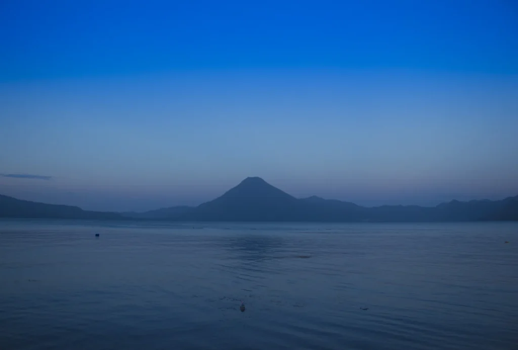
Lake Atitlán’s volcanoes make an unforgettable skyline, but they can also obscure the geography. The lake does not sit in the summit crater of the mountain called Atitlán. It occupies part of a much older volcanic depression, with younger cones and distinct Maya communities around its shores.
Lake Atitlán is in Guatemala’s western highlands, in Sololá. It fills part of the Atitlán caldera, while San Pedro, Tolimán and Atitlán are younger surrounding volcanoes. AMSCLAE’s account of a 2014 survey reports a maximum sounded depth of about 1,075 feet (327.56 meters).
How to use this article: Separate lake, caldera and volcano, read the dated survey figures, understand the eruption chronology, and locate the communities around the lake.
1. Where Is Lake Atitlán?
Lake Atitlán lies in Guatemala’s western highlands, in the department of Sololá. Mountains and volcanic cones frame the water, while towns occupy different stretches of shoreline and the land above it. Panajachel, Santiago Atitlán and San Pedro La Laguna are distinct communities, not alternative names for one lakeside destination.
The lake, the caldera and Volcán Atitlán
The name Atitlán can describe several related features. Lake Atitlán is the water body. The Atitlán caldera is the much larger volcanic depression associated with ancient explosive eruptions and collapse. Volcán Atitlán is a younger volcanic cone on the southern side of that landscape.
The lake is therefore not water filling the small summit crater of the cone visible in photographs. Its shoreline and the caldera’s geological limits are also not identical. A locator map can show the lake, towns and volcano summits without pretending that the water’s edge marks the entire ancient collapse structure.

2. What the Depth Survey Measured
AMSCLAE, the authority responsible for the lake and its basin, describes a hydrographic survey carried out from May 5 to June 10, 2014. It reported a maximum sounded depth of 1,075 feet (327.56 meters) and an approximate lake area of 48.4 square miles (125.36 km²).
Dated soundings, not a current water-level reading
| Item | Published reference | Meaning |
|---|---|---|
| Maximum sounded depth | About 1,075 feet (327.56 meters) | Deepest sounding reported for that survey |
| Approximate lake area | 48.4 square miles (125.36 km²) | Water area described in the survey account |
| Fieldwork | May 5–June 10, 2014 | When the measurements were collected |
| Hydrographic map printing | September 8, 2015 | Later production of the map, not a new survey |
A depth is measured down from the water surface. It is not the lake’s elevation above sea level, the height of a nearby volcano or the amount the shoreline has risen or fallen. Keeping those measurements separate avoids turning a change in lake level into a claim about the height of the surrounding mountains.
Published descriptions of Atitlán do not all use the same depth or area. The table deliberately keeps the dated survey references together rather than combining unrelated figures. The outline map in this article is a geographical locator, not a reproduction of the hydrographic chart or a chart for navigating shallow water.
3. An Ancient Caldera and Younger Volcanoes
The modern caldera is associated with the enormous Los Chocoyos eruption. Volcanic material was expelled over a wide area, and collapse helped create the depression now partly occupied by the lake. This ancient basin-forming history is separate from eruptions of the younger cones around it.
Why the eruption’s date needs a source
The age of Los Chocoyos remains an active research question. Older summaries commonly give roughly 84,000–85,000 years. A 2024 study by Baudry and colleagues proposed an estimate of 98,000 years, with an uncertainty of 6,000 years; a 2025 ice-core study by Innes and colleagues identified the event at about 79,500 years.
These are different scientific age estimates, not different dates that should be averaged into a more precise answer. For the landscape explanation here, the important distinction is that the caldera-forming eruption occurred in the Late Pleistocene, long before the historical activity of the cone called Volcán Atitlán.
San Pedro, Tolimán and Atitlán are post-caldera volcanoes. The Smithsonian’s Global Volcanism Program identifies Atitlán as younger than neighboring Tolimán and records its latest confirmed eruption in 1853. That year belongs to the volcano’s eruptive history; it is not the year the lake basin formed. A record of past activity is not a forecast of an imminent eruption or a guarantee that a hiking route is safe.
Compare this distinction with Crater Lake’s caldera and younger Wizard Island: a volcanic basin and the features that grow inside or beside it can have different ages.

4. A Closed Surface Basin with Changing Water Conditions
AMSCLAE describes the Atitlán basin as endorheic: it has no surface river outlet carrying its water onward to another lake or the sea. This does not mean that no water enters from the surrounding land. The catchment supplies runoff and material from its slopes, settlements and streams.
Clear-looking water is not a water-quality test
Land use around a lake matters because water can carry nutrients, sediment and waste toward the basin. AMSCLAE’s strategic plan emphasizes wastewater management, agricultural practices and soil protection as connected parts of conserving Atitlán, rather than treating the shoreline as separate from the surrounding hills.
The authority’s 2025 monitoring report records changing clarity, algae, nutrients and oxygen conditions. Its monitoring program samples the center of the lake and sites near Panajachel and Santiago Atitlán, examining water at different depths. A measurement made at one station or depth is not a description of every beach at every hour.
A scenic photograph, blue water or a view of the bottom near shore cannot establish microbiological safety. Consult current local water-quality advice before swimming, and do not interpret the historical depth survey as a current bathing assessment. The long-term physical basin and the condition of its water are related but distinct subjects.
5. Maya Communities around the Lake
Atitlán is a lived-in landscape, not only a volcanic panorama. AMSCLAE identifies Kaqchikel, K’iche’ and Tz’utujil Maya communities in the basin, alongside Ladino and other residents. These are living communities with their own languages and local histories, not interchangeable labels for a single tourism culture.
Different towns, different local contexts
CONAP, Guatemala’s protected-area authority, describes Santiago Atitlán, San Pedro La Laguna and San Juan La Laguna among the region’s Tz’utujil communities, and Panajachel among its Kaqchikel communities. It identifies Panajachel as an important visitor gateway. These broad descriptions help orient a reader without assuming that every resident has the same identity or speaks only one language.
The lake and its wider surroundings also lie within a multiple-use protected landscape. That designation does not mean that the entire area is empty wilderness, or that its protected-area boundary matches the shoreline. Settlements, livelihoods, conservation and visitor activity coexist across the region.
When visiting, ask before photographing people or entering spaces used for ceremonies, and respect local guidance. A community’s daily life is not a performance arranged for visitors.
6. Reading the Map before Planning a Visit
A map helps distinguish lakeside towns from volcano summits, but it cannot tell you whether a boat is operating or a trail is open. The steep landscape makes those practical checks especially important: being close across the water is not the same as having a short road journey.
Confirm access and conditions locally
Use current local information for boat departures, weather and permitted walking routes rather than relying on an old itinerary. CONAP’s destination information describes routes and community tourism, but an activity listed on a general destination page is not a guarantee of present access or suitable conditions.
Keep geological hazards separate from sightseeing descriptions as well. The USGS hazard report explains why preparedness around Volcán Atitlán matters while explicitly stating that its assessment does not predict an imminent eruption. For a trip, consult current instructions from local authorities and guides rather than turning a historical eruption date into a personal safety judgment.
The most useful starting point is to choose the town or landscape you want to understand, identify it on the map, and then confirm the transport and access details for that place.
What Did We Learn Today?
Atitlán’s lake, ancient caldera and younger volcano of the same name are different features. A dated hydrographic survey explains its depth, while modern water monitoring answers different questions. The basin’s Maya communities are central to the landscape, and neither a geological map nor a historical eruption date replaces current local access and safety information.
Sources & Data Notes
Depth and area are attributed to AMSCLAE’s account of its 2014 survey; U.S. units are rounded conversions. Eruption ages remain disputed, so the cited research estimates are not presented as a settled chronology. The 2025 monitoring report describes dated samples, not current conditions at every shore. Sociolinguistic reports are used for community context, not to infer basin-wide population percentages from agency service records.
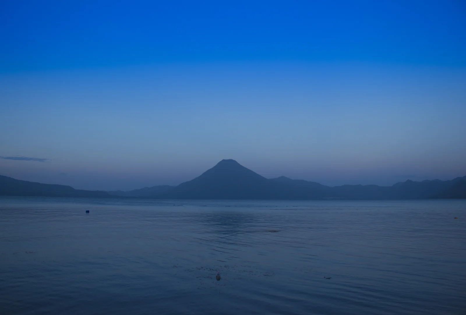
The map combines actual OpenStreetMap shoreline and settlement reference points with Smithsonian volcano reference coordinates. It does not map caldera limits, trails or bathymetry. The photograph’s original Unsplash publication predates June 2017; Commons documents its historical CC0 dedication. No specific mountain summit or precise camera location is inferred from the photograph.
- AMSCLAE: 2014 hydrographic survey and 2015 map production
- Smithsonian Global Volcanism Program: Atitlán volcano and post-caldera context
- USGS, 2006: volcanic hazards and distinction between caldera and younger cones
- Baudry and colleagues, 2024: Los Chocoyos age estimate
- Innes and colleagues, 2025: ice-core evidence for the Los Chocoyos eruption
- AMSCLAE strategic plan: closed basin and catchment management
- AMSCLAE: 2025 monitoring methods and water-quality observations
- AMSCLAE, December 2025: communities and language context
- CONAP: multiple-use landscape, communities and visitor orientation