Sudan’s best-known river junction is not the whole country. The Nile corridor, western uplands and Red Sea coast provide different geographic settings, while war has changed where people can live, farm and move.
Sudan is a northeastern African country with Khartoum as its capital and a coast on the Red Sea. The Blue and White Nile meet at Khartoum before continuing north as the Nile. Deserts dominate the north, while wetter environments extend toward the southern margins. Sudan and South Sudan are separate states; the maps here do not show wartime control.
How to use this article: Compare the physical settings, trace the Nile junction, or check the population estimate’s scope.
1. Locate Sudan and Distinguish Its Capital
Sudan, not South Sudan
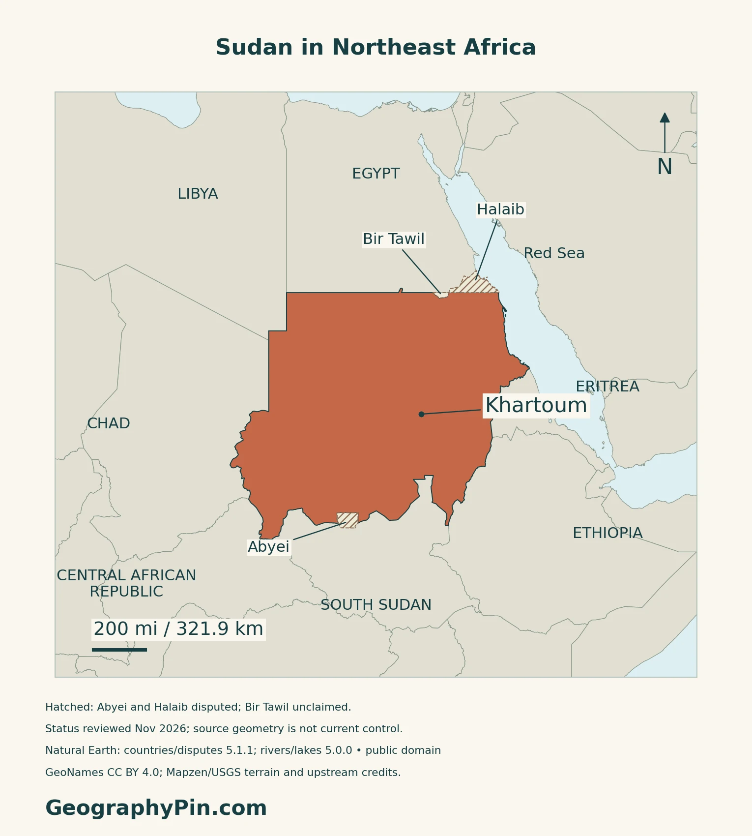
Sudan lies in northeastern Africa and has a Red Sea coast. It borders Egypt, Libya, Chad, the Central African Republic, South Sudan, Ethiopia and Eritrea. South Sudan became a separate country in 2011; it is not the southern part of the present Sudanese state.
Khartoum and wartime relocation
Khartoum is the capital. Federal ministries relocated to Port Sudan after war broke out in April 2023. The UN’s Annual Results Report 2025, published in 2026, reports their return to Khartoum and describes a phased UN return during 2026. This dated institutional movement does not establish unified authority or show who controls every part of Sudan.
2. Compare Desert, Uplands and Wetter Margins
Read the environmental gradient

| Setting | Geographic distinction |
|---|---|
| Northern deserts | Nubian and Bayuda desert landscapes surround sections of the Nile corridor. |
| Central transition | Semi-desert gives way to savanna settings, with rainfall varying across the country. |
| Southern margins | Wetter savanna and agricultural landscapes, within Sudan rather than South Sudan. |
| Upland areas | Jebel Marra, the Nuba and Ingessena hills, and the Red Sea Hills interrupt the broader lowland pattern. |
The 2021 National Forest Inventory supplies this pre-war landscape framework.
Darfur is a region, not a single landform
Darfur is a broad western region that includes the Jebel Marra volcanic uplands as well as much drier plains. Sudan’s 2021 tentative-list submission to UNESCO describes the uplands as cooler and wetter than the surrounding arid and savanna zones, supporting woodland and vegetation along watercourses. FAO’s assessment based on June 2011 fieldwork describes farming that used terraces, concentrated runoff and streams for irrigation, including citrus and valley vegetables. These older descriptions explain the landscape; they do not establish present cultivation, safe access or wartime control.
A marine edge beyond the Nile valley
Sudan also faces the Red Sea. UNESCO’s Sanganeb and Dungonab Bay–Mukkawar Island property contains two separate marine areas, with coral reefs, seagrass beds, mangroves and islands. This coastal setting is quite different from either the river corridor or the desert interior; the designation does not establish present access or habitat condition.
3. Follow the Nile Through Sudan
Two upstream branches meet at Khartoum
The White Nile approaches Khartoum from the south and southwest; the Blue Nile comes from the Ethiopian highlands to the southeast. They meet at Khartoum, after which the main Nile continues north through Sudan toward Egypt.
This is a meeting of rivers, not a delta. For the wider source-to-mouth route and the distinction between river length and the drainage basin, use the Nile geography guide. The country profile focuses on the Sudanese reaches rather than repeating the full river account.
River-fed farming and rain-fed farming differ
Before the war, the 2021 forest inventory described population concentrations along the Nile and its tributaries, and around agricultural and forest areas.
FAO’s December 2015 agricultural-water profile describes irrigation along the Nile in the drier north. Farther south, increasing rainfall supports more widespread rain-fed cultivation and livestock rearing alongside irrigated agriculture. A river corridor and a rainfall zone are therefore different explanations for where farming occurs.
A dry national image can hide flood exposure
NASA documented extensive White Nile flooding near Al Jabalain in September 2021, comparing the scene with the same area in 2015. The example shows why a narrow river line cannot represent a flood’s full reach. It is historical evidence, not a map of November 2026 inundation.
4. Separate Agricultural Geography From Wartime Access
Rainfall alone does not determine the harvest
FAO’s September 24, 2026 assessment reported below-average seasonal rain across much of the cropping area. It also identified insecurity limiting access to fields and shortages or high prices of fuel and other inputs. Those interacting constraints matter more than a simple assumption that a wetter region will necessarily produce a successful harvest.
The assessment was issued before completion of the 2026 harvest. Its crop concerns should not be converted into a final production total or a forecast of conditions everywhere in Sudan.
Port Sudan connects to a constrained inland network
The Logistics Cluster’s June 2026 operating plan describes Port Sudan as an operational base and seaport, but highlights barriers to moving supplies toward southern and western areas. Insecurity, administrative requirements, infrastructure damage and transport costs can interrupt connections that appear straightforward on a national map.
This June 2026 operating plan is not current route advice.
The North Africa regional map places Sudan in a wider geographic classification. The Africa capitals reference supplies the continent-wide lookup.
5. Check Population and Other Dated Facts
| Item | Reference | Scope |
|---|---|---|
| Capital | Khartoum | UNData and embassy references |
| Population | About 51.66 million | UNData 2025 medium-fertility projection |
| Area | About 726,644 sq mi (1,882,000 km²) | London embassy’s total-area figure; not a land-only measurement |
| Languages | Arabic; English also listed among major languages | London embassy wording; legal classification differs between embassy sources |
| Currency | Sudanese pound (SDG) | UNData and embassy references |
| Administrative reference | 18 states | Washington embassy listing, not a map of effective control |
A modeled population, not a wartime headcount
The 2025 figure is a projection, not a new census. War has displaced people within Sudan and across its borders, while others have returned home. The national projection cannot establish the number currently living in a particular city or locality.
Language labels need qualification
The London embassy marks Arabic as official and lists English as another major language. The Washington embassy labels both official. This profile does not resolve that difference by presenting an unverified consolidated constitutional rule as current law.
What Did We Learn Today?
The Nile confluence helps explain Sudan, but river water, regional rainfall and access to land are separate parts of the picture.
Sources & Data Notes
Sources, dates and map conventions
Population is UNData’s 2025 medium-fertility projection, not a current wartime enumeration. The UN report’s 2026 outlook supports the dated ministry-return statement. Area follows the London embassy’s 1,882,000 km² convention; the Washington page lists 1,886,068 km², without a reconciliation verified here. Embassy language classifications differ; a current consolidated legal text was not independently verified. Administrative references do not depict effective control. Sources were checked in November 2026. The 2021 forest inventory and 2015 agricultural profile support broad geographic patterns, not current land-use totals or operating conditions. NASA’s older images establish the confluence and a dated flood example, not present river flow or inundation. The 2026 crop and logistics reports retain their publication dates and are not live access advice.
- UNData: Sudan, 2025 medium-fertility population projection
- UN Sudan Annual Results Report 2025, published in 2026, including 2026 outlook
- Sudan Embassy in London: country reference information
- Sudan Embassy in Washington: country reference information
- Forests National Corporation: Sudan National Forest Inventory, 2021
- UNESCO: Sanganeb and Dungonab Bay–Mukkawar Island marine property
- NASA: Khartoum confluence imagery, 2005
- FAO: Water for Agriculture and Energy, Sudan, December 2015
- NASA: Floods Along the White Nile, 2021
- FAO GIEWS: Sudan country brief, September 24, 2026
- Logistics Cluster: Sudan Concept of Operations, June 2026
- Sudan’s UNESCO tentative-list submission: Jebel Marra / Deriba Caldera, February 2, 2021
- FAO: Seed System Security Assessment Report for Darfur Region, June 2011 assessment, published January 2012
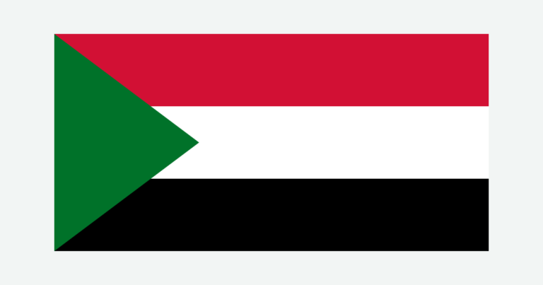
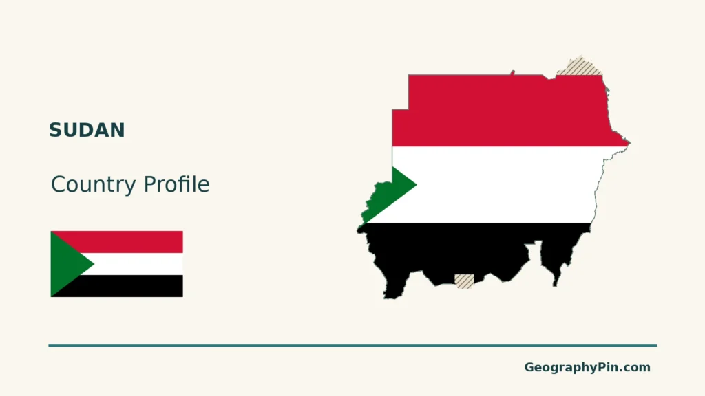
Map method: Original maps use public-domain Natural Earth countries and disputed areas 5.1.1, and rivers/lakes 5.0.0. Abyei is removed from ordinary national fill; its source polygon and Halaib are neutrally hatched. Bir Tawil remains separate. Abyei’s final status and the final Sudan–South Sudan boundary remain undetermined. Boundary context follows the 2024 PCGN factfile and the UK’s November 5, 2026 UN statement on Abyei. These conventions do not assign sovereignty or depict current control. The cover uses the same treatment. GeoNames reference coordinates are CC BY 4.0. Nile labels follow selected supplied reaches, not whole headwaters. The supplied Lake Nasser reservoir polygon (also called Lake Nubia in Sudan) explains the northern river-line gap; it is not a current shoreline survey. Mapzen terrain retains Mapzen/USGS and upstream credits; 56 uncertain negative Red Sea coastal samples are withheld without replacement heights. Scales use local WGS84 distances. The Commons flag rendition is public domain as simple geometry; its design is corroborated by Sudan’s embassy, with 1:2 proportions taken from the rendition.