Australia · Coasts
Torres Strait Map Between Australia and New Guinea
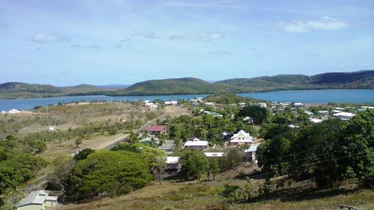
Torres Strait separates mainland Australia from New Guinea, but its islands make a halfway line a poor guide to the border. Some Australian islands…
Read articleExplore GeographyPin
You are browsing a collection. Search here or change the filters below.
Australia · Coasts
Torres Strait separates mainland Australia from New Guinea, but its islands make a halfway line a poor guide to the border. Some Australian islands…
Read article
Guinea · Flags
Learn why Guinea chose a red, yellow and green flag after independence in 1958, what its colors represent and how the stripe order distinguishes…
Read article
Guinea · Countries & regions
Explore Guinea’s map, Conakry, Fouta Djallon headwaters, coastal lowlands and forested southeast, with original terrain maps and carefully dated country facts.
Read article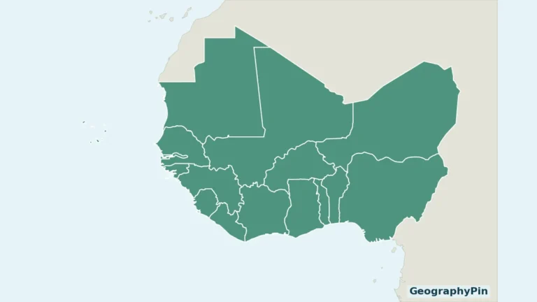
Côte d’Ivoire · Countries & regions
West Africa contains both a long Atlantic coastline and countries far inland. A useful regional map must also show Cabo Verde rather than treating…
Read article