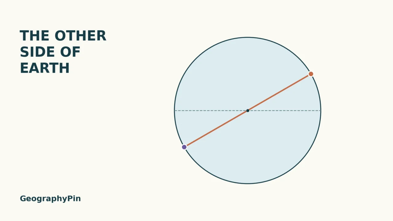
The opposite side of Earth is not found by moving a pin to the far edge of a flat map. It is found by imagining a straight line through Earth’s center. The point where that line reaches the other side is your antipode, and two small coordinate changes locate it.
An antipode is the point directly opposite another point on Earth. To find it from latitude and longitude, reverse the latitude’s north–south direction and move the longitude by 180°. For example, the antipode of 30°N, 60°E is 30°S, 120°W. Changing east to west without changing the longitude’s magnitude is not enough.
Start here: see the through-the-center diagram, follow the two-step calculation, or check the common longitude mistake.
1. What Opposite Means on a Globe
A line through the center, not across a map
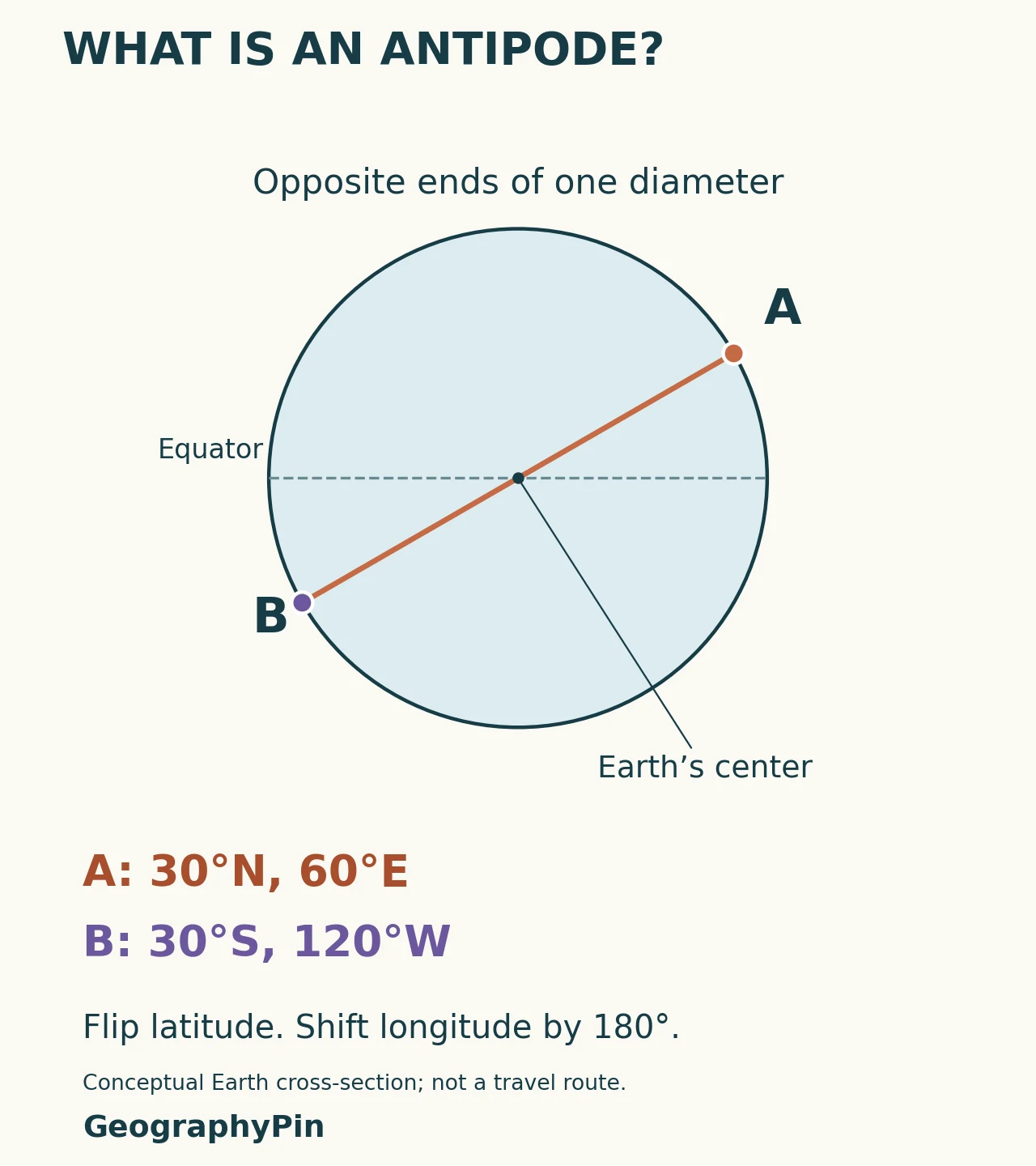
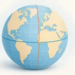
On a spherical globe, antipodal points are separated by half a full turn around its center. The latitude changes hemisphere, and the longitude lies on the opposite meridian. Both changes matter: simply crossing the Equator does not take you to the opposite side.
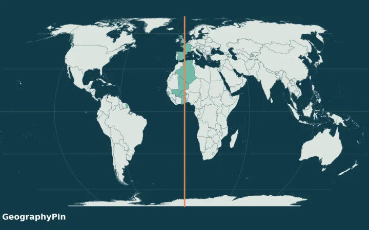
A flat map can make this harder to see because every map projection rearranges the globe’s geometry. Opposite points need not sit at opposite corners of the printed page. NOAA’s Map versus Globe lesson uses antipodes to demonstrate precisely this difference.
2. Calculate Antipodal Coordinates
Start with 30°N, 60°E
- Reverse latitude: 30°N becomes 30°S. Keep the number of degrees; change north to south or south to north.
- Find the opposite longitude: subtract the longitude’s magnitude from 180°, then reverse east and west. Here, 180° − 60° = 120°, so 60°E becomes 120°W.
The answer is 30°S, 120°W. This is the same rule as adding 180° to longitude and wrapping the result into the usual −180° to +180° range. The hemisphere-letter version is often easier to do without a calculator.
| Starting point | Antipode | Longitude calculation |
|---|---|---|
| 30°N, 60°E | 30°S, 120°W | 180 − 60 = 120 |
| 40°N, 75°W | 40°S, 105°E | 180 − 75 = 105 |
| 20°S, 130°E | 20°N, 50°W | 180 − 130 = 50 |
| 0°, 0° | 0°, 180° | 180 − 0 = 180 |
If your coordinates use signed decimals, north and east are positive; south and west are negative. For longitude λ within −180° to +180°, subtract 180° when λ is zero or positive; add 180° when it is negative. Negate the latitude. The results 180°E and 180°W identify the same meridian.
Keep your input order clear. These examples use latitude, longitude, while some mapping formats use longitude first. Our latitude and longitude guide explains coordinate formats before you attempt the transformation.
3. Check Your Answer
Do not just reverse both hemisphere letters
Changing 30°N, 60°E into 30°S, 60°W produces a different point, not the antipode. Those longitudes are only 120° apart, not 180°. The longitude’s numerical magnitude usually has to change as well as its east–west label.
A useful check is to run the calculation twice. Starting with 30°S, 120°W gives 30°N, 60°E, returning you to the original point. Also check that latitude stays between 90°S and 90°N and longitude stays within the chosen convention. A result such as 240°E can be valid in a 0–360° system, but it is equivalent to 120°W, not an ordinary east–west value below 180°.
At the Equator, reversing latitude leaves it at 0°, so the opposite point is also on the Equator. At a geographic pole, longitude does not identify a unique direction around that point because all meridians meet there. The North and South Poles are one another’s antipodes.
4. What an Antipode Does Not Tell You
It does not identify a country by itself. The calculation returns coordinates. To say whether the result is land, water or a particular country, inspect a geographic dataset at a suitable scale. A rounded input near a coastline can make a more precise-looking output misleading.
It does not guarantee a 12-hour civil-time difference. The opposite longitude is a geometric relationship. Time-zone boundaries and clock rules are set by authorities rather than by a perfect grid of meridians. Do not use an antipode calculation to schedule a call.
It does not describe a practical journey through Earth. The diameter in the diagram defines “opposite.” Travel over the surface is a different problem. The illustration uses a spherical Earth for clarity, without claiming a measured route length or a physically possible tunnel.
Frequently Asked Questions
Can an antipode be in the ocean?
Yes. Opposite points are defined by geometry, not by whether land exists at both ends. Calculating a coordinate does not guarantee a land destination.
Is the antimeridian the same thing as an antipode?
No. The antimeridian is the meridian 180° from the zero-longitude reference. An antipode is one specific opposite point, determined by both latitude and longitude.
What Did We Learn Today?
An antipode is the opposite point through Earth’s center. Reverse latitude and shift longitude by 180°, then check the result by applying the rule again. Keep coordinate order and longitude conventions clear, and use a map separately to identify land or water. Opposite coordinates do not automatically mean opposite clock times or a usable travel route.
Sources & Data Notes
- NOAA Science on a Sphere: Map versus Globe, the antipode transformation and map-versus-globe teaching context.
- NOAA National Ocean Service: What Is Latitude?, coordinate range, Equator and poles.
- NOAA National Ocean Service: What Is Longitude?, meridians, the antimeridian and legal time-zone boundaries.
Method: GeographyPin created the conceptual diagram and arithmetic examples. The example coordinates were chosen to make the calculation transparent, not measured as city locations. Each example was checked by reversing the transformation and by verifying opposite unit vectors on a sphere. No city-pair claims, land-area percentages or exact journey distances are inferred.