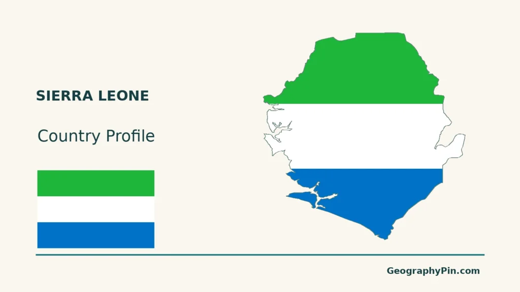
Sierra Leone is an Atlantic-facing West African country with Freetown as its capital. The wooded peninsula around the capital is a useful starting point: its steep coastal terrain differs from the estuaries nearby, so the coast cannot be understood as one continuous flat plain.
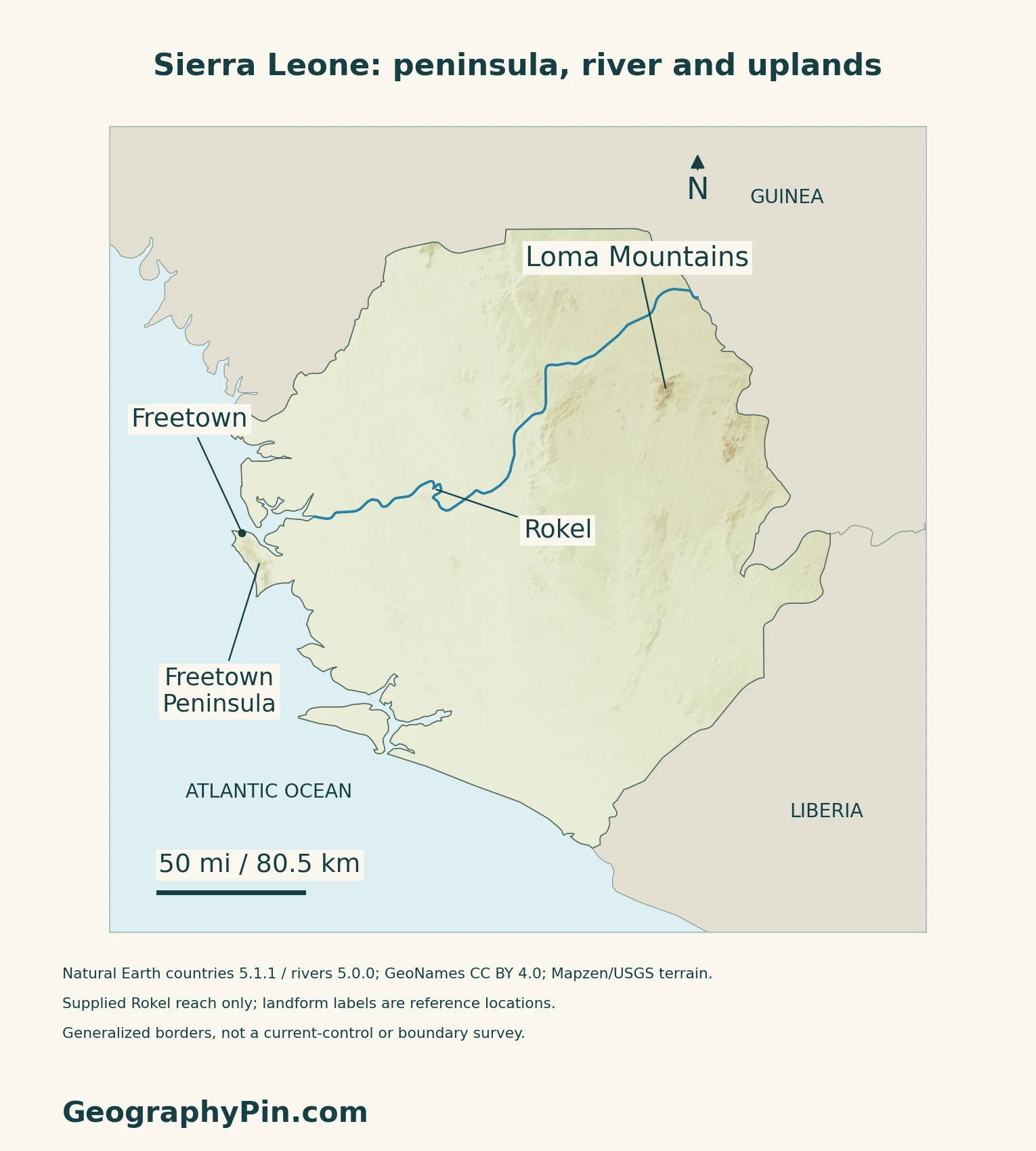
Much of Sierra Leone’s Atlantic margin consists of low coastal plains, creeks and mangrove estuaries, while the interior rises through plains and plateaus to mountain ranges such as the Loma Mountains. The Freetown Peninsula is an important exception to a simple coast-to-upland pattern: steep hills stand close to the sea.
How to use this article: Locate the country, compare the physical settings, or follow the river system.
1. Locate Sierra Leone and Its Atlantic Coast
Guinea, Liberia and the Atlantic
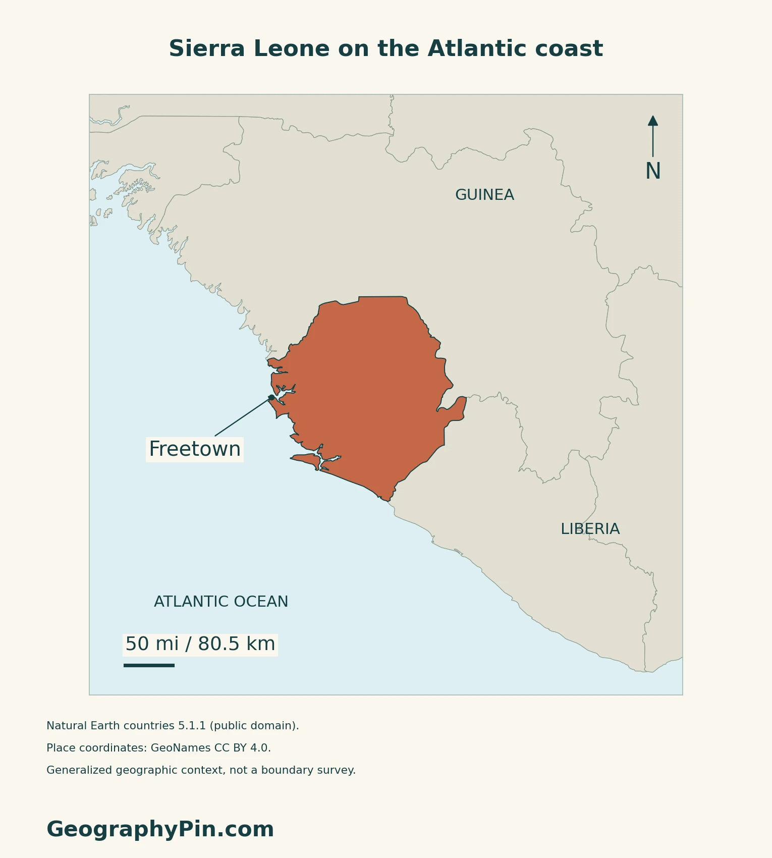
Sierra Leone lies on the Atlantic side of West Africa. Guinea borders it to the north and east; Liberia is its southeastern neighbor. Freetown, the capital, occupies the northern part of the Western Area Peninsula.
Read the Country Within West Africa
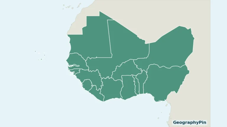
The West Africa countries map supplies the wider regional setting.
2. Compare Low Coasts, Peninsula Hills and Interior Uplands
Four Settings to Recognize
| Setting | What distinguishes it |
|---|---|
| Atlantic coastal lowlands | Low, frequently inundated ground, with creeks, estuaries and mangroves. |
| Freetown Peninsula | A hilly coastal projection, unlike the flatter shores around it. |
| Interior plains | Lower inland country, including seasonal wet depressions known as bolilands. |
| Interior plateaus and mountains | Higher terrain, including the Loma Mountains in the northeast. |
Why Freetown Is a Coastal Exception
Sierra Leone’s 2012 submission for the Western Area Peninsula National Park describes forested mountains descending toward the sea. The peninsula therefore combines a maritime setting with steep terrain, rather than belonging to the broad swampy coastal plain. The submission is a Tentative List record, not proof that this park is an inscribed World Heritage property.
The European Space Agency’s description of a December 2015 satellite scene places Freetown on the peninsula and Lungi International Airport across the estuary to its north. That separation is a useful map-reading detail: the airport and the capital are not simply adjacent points on the same stretch of peninsula.
3. Follow Rivers From the Interior to the Estuaries
The Rokel and the Atlantic Drainage
The British Geological Survey identifies the Little Scarcies, Rokel, Jong, Sewa and Moa among Sierra Leone’s main rivers, generally flowing southwestward toward the Atlantic. Their runoff changes with the rainfall season.
The Sierra Leone River Estuary
The Environment Protection Agency’s coastal management plan describes the Sierra Leone River Estuary as receiving the Rokel and other waterways, including the Bunce River and Port Look Creek. Queen Elizabeth II Quay is situated along this estuarine system. Inland river channels and the broad tidal receiving waters should therefore not be read as identical geographic features.
ESA describes mangroves and low coastal plains around the estuary, with important breeding habitat for waterbirds. The agency’s dated scene complements the relief map: terrain shading can show hills, but cannot by itself identify tidal habitats or current vegetation cover.
4. Connect Rainfall With Water and Coastal Habitats
A Wet Climate With a Marked Dry Season
Sierra Leone has a humid tropical climate, but rainfall is strongly seasonal. The BGS synthesis places the usual rainfall peak in August and the dry season in December–March. A wet annual climate does not mean that river flow remains constant throughout the year.
Mangroves Link Land, Water and Livelihoods
The EPA coastal plan discusses mangroves along river estuaries, creeks and bays, and identifies their importance to fish and shellfish. It also treats fishing, water transport and harvesting of coastal resources as connected uses of the same landscape. The plan’s implementation period was 2016–2020; its historical habitat totals and economic percentages are not presented here as current measurements.
5. Check Dated Country Facts
| Item | Reference |
|---|---|
| Capital | Freetown |
| Population reference | 7,548,702; final reported 2021 mid-term census total |
| Surface area | About 27,915 sq mi (72,300 km²), using UNData’s surface-area convention |
| Currency | Leone (SLE) |
| Government form | Republic |
| Language reference | English; section 90 of the Constitution requires it for parliamentary business |
A census-night population, not a current estimate
Stats SL’s September 2022 report gives the final 2021 total above, replacing the earlier provisional 7,541,641. It describes a de facto count: people were assigned to where they slept on December 9, 2021, rather than necessarily their usual residence. This is not a 2026 population estimate.
Languages and changing administrative geography
The Indian High Commission lists English as official and also names Krio, Mende, Temne and other local languages. That descriptive classification is separate from the Constitution’s specific parliamentary-language rule. In October 2026, Sierra Leone’s Information Ministry reported new districts and reorganized councils, including changes around Freetown. Older census district tables should therefore not be treated as a current administrative map.
For a broader comparison, see the African countries and capitals reference.
What Did We Learn Today?
Sierra Leone combines low estuarine shores, a hilly capital peninsula and higher interior terrain. Census dates and map scope matter when using its country facts.
Sources & Data Notes
Sources, dates and map conventions
The census PDF calls itself a preliminary report but explicitly presents final results; the final total is corroborated by Stats SL’s handover notice. Its acknowledgements record World Bank funding withdrawal before main enumeration; no independent validation of census completeness is asserted here. Constitutional provisions are cited narrowly, not as a complete current consolidation. The October 2026 ministry briefing supports the administrative-change warning; the underlying establishment orders were not independently retrieved, so no updated district total is claimed. Landscape descriptions use the BGS 2018 synthesis, the Sierra Leone embassy’s physical-geography account, ESA’s 2016 explanation of a December 2015 scene, the State Party’s 2012 Peninsula Tentative List submission, and EPA’s coastal plan for 2016–2020. Old population, habitat-percentage and harbour-ranking claims in those sources are not reused. No satellite or source-site imagery is reproduced.
- Stats SL: September 2022 report presenting final 2021 mid-term census results
- Stats SL: final census results handover
- UNData: capital, surface area and currency
- Electoral Commission: 1991 Constitution reproduction, sections 1 and 90
- Indian High Commission: language references
- Information Ministry: October 14, 2026 redistricting briefing
- Sierra Leone embassy: physical geography
- BGS: Hydrogeology of Sierra Leone
- ESA: Sierra Leone River Estuary, 2016
- Western Area Peninsula: State Party Tentative List submission, 2012
- EPA: Integrated Coastal Zone Management Plan
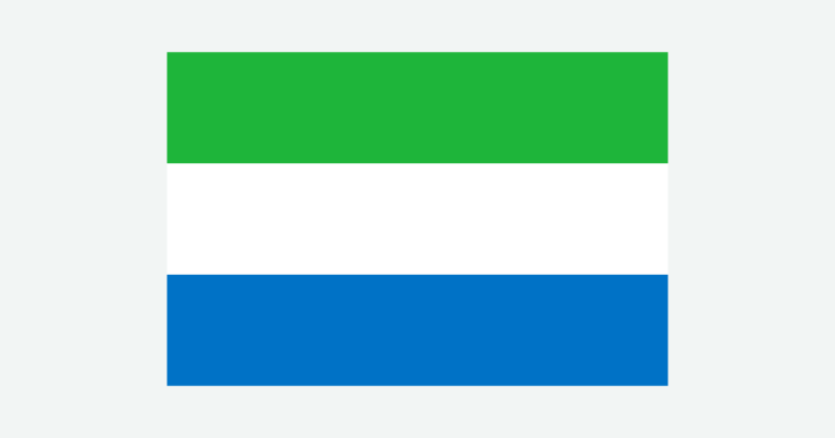
Original maps: GeographyPin uses Natural Earth countries 5.1.1 and rivers 5.0.0 (public domain), GeoNames coordinates (CC BY 4.0), and Mapzen/USGS terrain. The Rokel line is the supplied generalized reach; missing estuary channels are not reconstructed. Small coastal islands and channels may be omitted at this scale. Landform labels are reference locations, not protected-area or forest boundaries. Thirteen isolated negative terrain anomalies were withheld, including inland samples; other negative samples were retained. Missing pixels remain transparent, not assigned replacement heights. Scales use WGS84 geodesic distances. Borders are generalized, not surveyed alignments or current-control mapping. The cover combines the national outline with a complete separate Flagpedia flag rendition, available for commercial and noncommercial reuse. Its colors and 3:2 proportions agree with section 3 of the Constitution.