Niger is a landlocked West African country whose name is easily confused with Nigeria or with the river that crosses its southwest. Beyond that river corridor, the Aïr Mountains and Ténéré desert give the national map a different physical character.
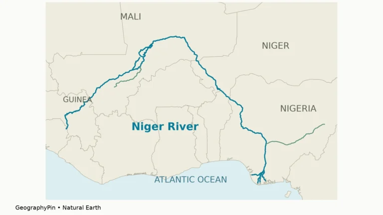
Niger and Nigeria are separate countries. Niger is landlocked and has Niamey as its capital; Nigeria lies to its south and has Abuja as its capital. The Niger River is a different geographic feature: a shared watercourse that passes through Niger rather than defining the whole country.
How to use this article: Locate the country, compare the physical settings, or follow the river corridor.
1. Locate Niger Without Confusing It With Nigeria
Seven neighbors and no ocean coast
Niger borders Algeria, Libya, Chad, Nigeria, Benin, Burkina Faso and Mali. Niamey lies beside the Niger River in the southwest, well away from the country’s northeastern desert interior.
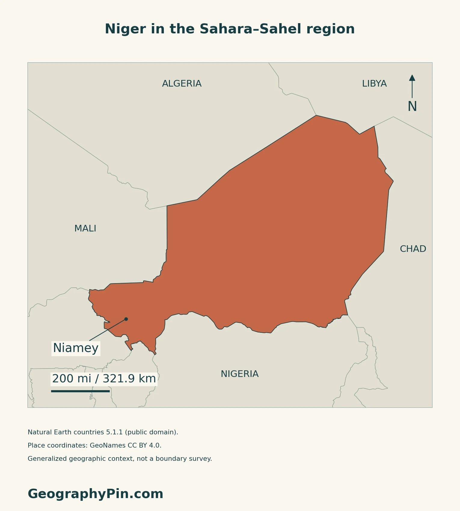
A country, a neighbor and a river
Abuja belongs to Nigeria, not Niger. The two countries also appear separately in the membership list of the Niger Basin Authority, whose headquarters are in Niamey. The organization coordinates water-resource cooperation across the wider basin; its nine member countries should not be mistaken for nine countries crossed by the main river channel.
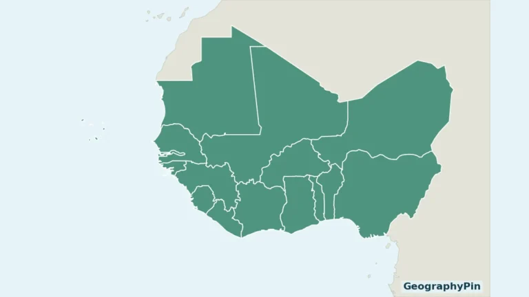
For the regional country pattern, use the West Africa countries map.
2. Compare the Aïr, Ténéré and Southern Belt
Mountains interrupt the desert plains
| Setting | Main contrast |
|---|---|
| Aïr Mountains | Rocky uplands with locally distinctive vegetation. |
| Ténéré | Saharan plains and mobile sand dunes. |
| Southern belt | Semiarid Sahelian environments, wetter than the northern desert. |
| Southwestern river corridor | The Niger River and Niamey, distinct from the Lake Chad basin farther east. |
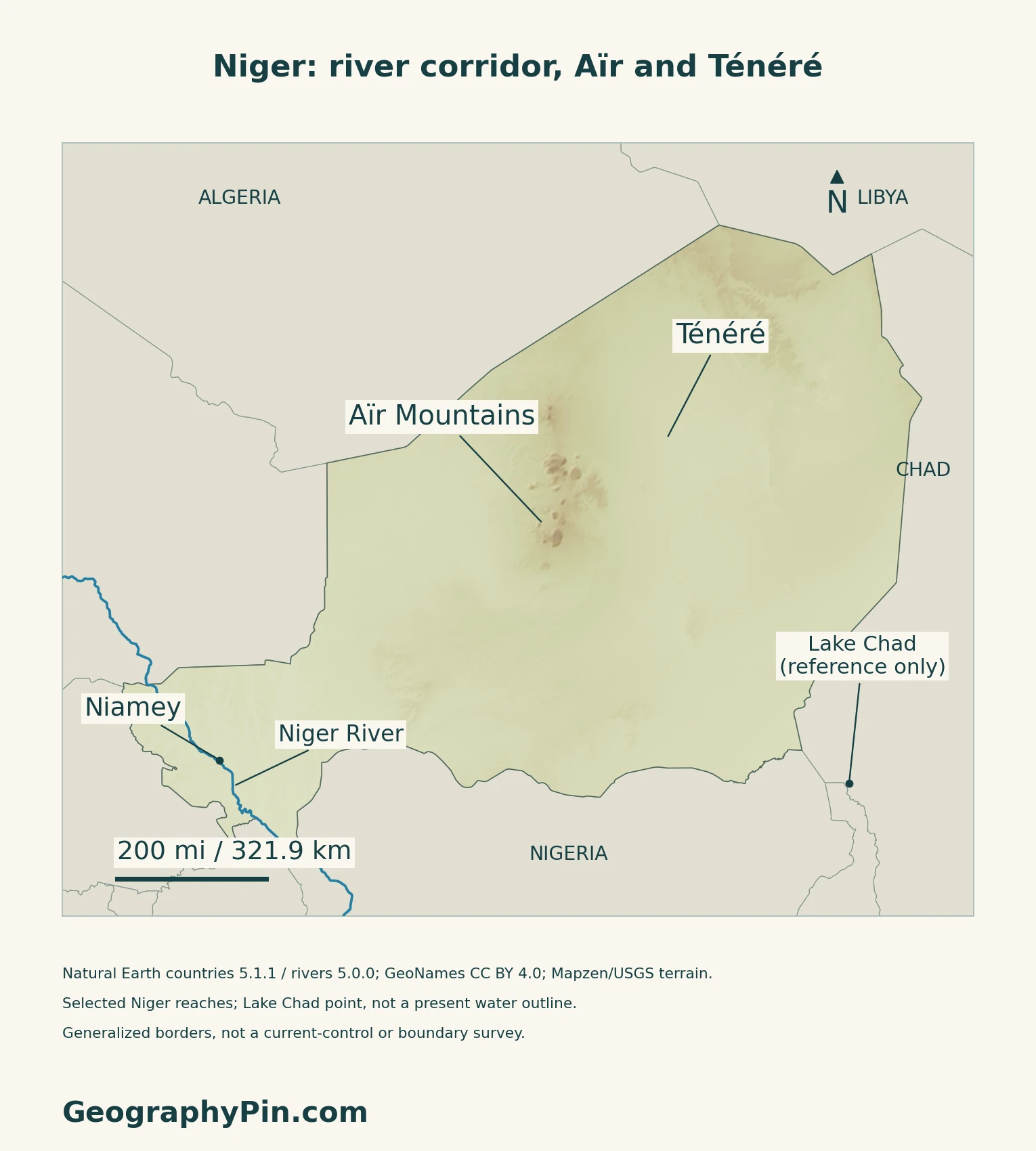
Aïr and Ténéré are not interchangeable names
UNESCO’s reserve description distinguishes the Aïr mountain massifs from the broad Ténéré desert plain. It describes the mountains as a pocket of Sahelian plant life within a Saharan setting. Moving dunes reshape parts of the surrounding desert through wind-driven erosion and deposition.
The map’s Aïr and Ténéré labels identify broad geographic references, not the boundary of the UNESCO property or a current wildlife survey.
3. Follow the Niger River Through the Southwest
Niamey’s river has more than one seasonal influence
A 2021 study of the Middle Niger distinguishes a local Sahelian flood, commonly called the red flood, from a later upstream flood, often called the black flood. The first reflects rainy-season tributary inflows upstream of Niamey. The second arrives after a longer journey from upper-basin rainfall, delayed by travel time and storage in Mali’s inland delta.
The study analyzes the 2020 flood and earlier records; its seasonal explanation is not a forecast for this year.
The river corridor is not the whole basin
The Niger Basin Authority’s purpose concerns shared water resources and connected ecosystems, not just the main channel. For the full source-to-sea route and the distinction between inland and coastal deltas, see the existing Niger River map and explanation.
4. Read Lake Chad and Rainfall With Their Dates
A southeastern wetland context
The Lake Chad Basin Commission identifies Niger, Nigeria, Chad and Cameroon as the four lake-bordering countries that founded the organization. This is a different shared-water setting from the Niger River corridor in the west.
USGS’s 2017–2018 Landsat sequence shows northern Lake Chad changing through the seasons. Water continued rising into the dry season because runoff takes time to travel through the Chari system. Open water, wetlands and dune islands look different in satellite imagery; a generalized lake symbol cannot represent their present distribution.
Dry does not mean identical everywhere
The British Geological Survey describes an arid Saharan north and a semiarid southern zone. Rainfall varies strongly between places, seasons and years, with a shorter rainy season and a longer dry season.
5. Check Dated Country Facts
| Item | Reference |
|---|---|
| Capital | Niamey |
| Population reference | 27,522,750 for 2025; INS demographic projection, published in its 2026 yearbook |
| Surface area | About 489,191 sq mi (1,267,000 km²); UNData surface-area convention |
| Currency | West African CFA franc (XOF) |
| Language framework | Hausa is the national language; English and French are working languages under Article 12 of the 2025 Charter |
| Administrative reference | Eight regional units including Niamey, as tabulated in the INS 2026 yearbook |
Projection and census are different references
The INS yearbook attributes its 2025 population to demographic projections based on the 2012 census. It separately reports the final 2012 census total of 17,138,707. Neither figure is a newly enumerated 2026 population. An INS preparation report published in May 2026 concerned equipment for the fifth census, not final results.
Read the current Charter’s exact terms
The Charter of Refoundation was promulgated on March 26, 2025. Article 12 lists Niger’s spoken languages, names Hausa as the national language, and names English and French as working languages. It does not use “official language” for Hausa in that provision. Describing French as the country’s sole official language would obscure this changed legal framework.
For a broader comparison, see the African countries and capitals reference.
What Did We Learn Today?
Separating the country, Nigeria and the river is the first step toward reading its geography accurately.
Sources & Data Notes
Sources, dates and map conventions
Population follows the original INS 2026 yearbook’s explicitly labeled 2025 projection, not new census results. The language wording follows the promulgated March 2025 Charter, visually read in the original Gazette; national and working are not silently relabeled official. Administrative units follow the yearbook’s classification, not a claim about territorial control. BGS supplies stable geographic and climate context; its outdated political introduction, independence date and population statistics are not used. UNESCO supports the mountain–desert contrast, not present wildlife numbers or access. The 2021 Middle Niger study explains hydrology using records through 2020, not current warning thresholds. USGS’s Lake Chad example uses 2017–2018 imagery and is not a present shoreline measurement. Basin-organization membership does not imply that the main channel crosses every member country.
- INS: Statistical Yearbook 2021–2025, edition 2026, demographic tables
- INS: census base for demographic projections
- INS: May 4, 2026 fifth-census preparation report
- Official Gazette: Charter promulgated March 26, 2025, Article 12
- UNData: capital, surface area and currency
- British Geological Survey: Hydrogeology of Niger
- UNESCO: Aïr and Ténéré Natural Reserves
- Niger Basin Authority: history, membership and headquarters
- Massazza and colleagues: 2021 Middle Niger flood study
- Lake Chad Basin Commission: founding lake-bordering countries
- USGS Earthshots: seasonal Lake Chad imagery, 2017–2018
- UNData: Nigeria’s separate capital reference
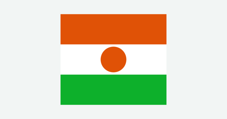
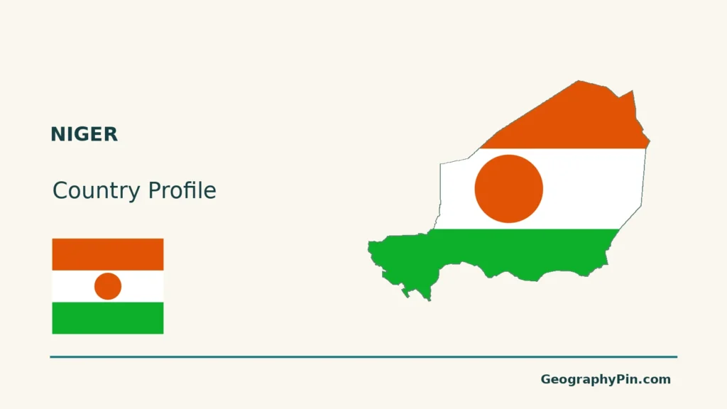
Original maps: GeographyPin uses Natural Earth countries 5.1.1 and rivers/lakes 5.0.0 (public domain), GeoNames coordinates (CC BY 4.0), and Mapzen/USGS terrain. River lines are supplied reaches, not reconstructed channels or a complete basin. Aïr and Ténéré labels indicate reference locations, not mapped regional boundaries. Lake Chad is represented only by a point derived from generalized source geometry; no current shoreline, lakebed, wetland or change comparison is drawn. Terrain is qualitative, not vegetation, hazard or current-control mapping. Scales use WGS84 geodesic distances. The cover uses the generalized national outline and a complete separate Flagpedia flag rendition, available for commercial and noncommercial use; its 7:6 proportions are those of the supplied asset, not a ratio specified by the cited constitutional text.