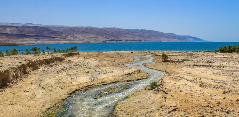
Jordan River & the Dead Sea: How the River Feeds a Salt Lake
The Jordan River threads south from the snows of Mount Hermon to the lowest land on Earth, the Dead Sea—about 251 kilometers (156 miles) of meanders through the Jordan Rift. Along the way it passes through the Sea of Galilee (Lake Kinneret) before ending in a lake with no outlet, where water disappears not to […]