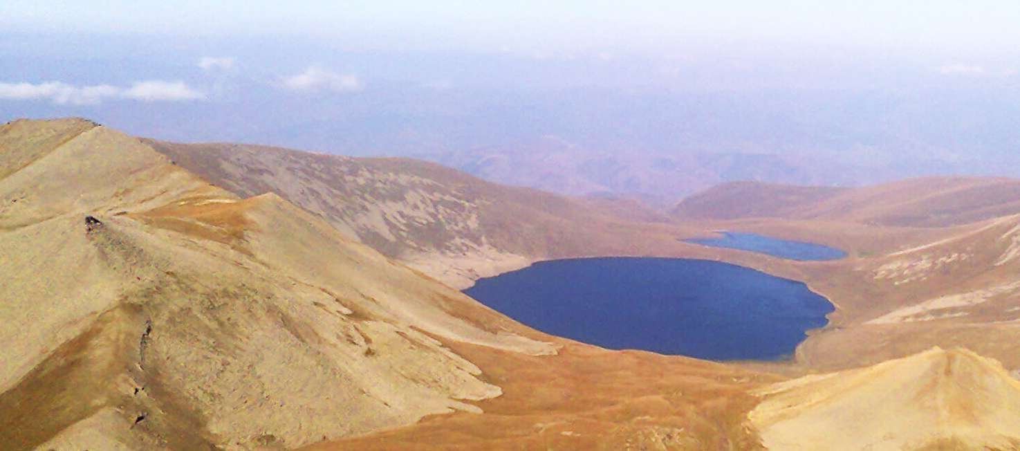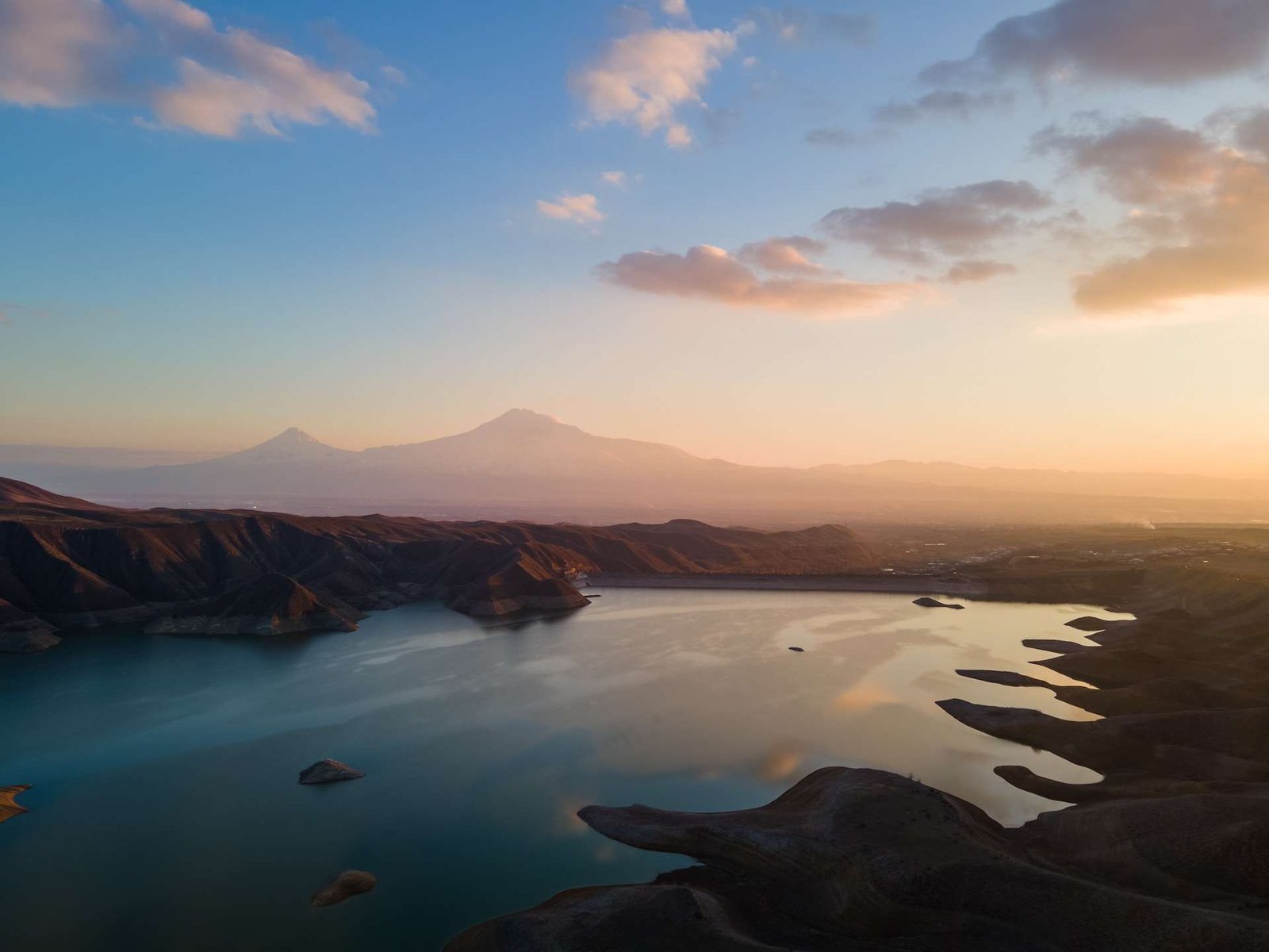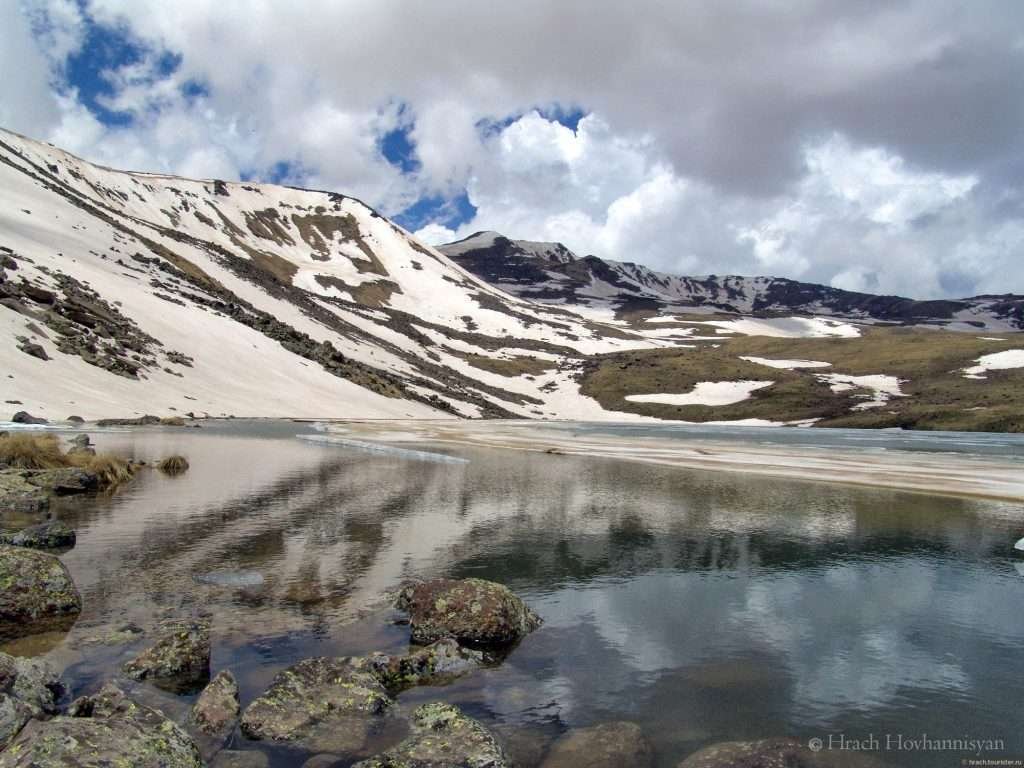
Lake Lessing (Լեսինգ) is a small mountain lake on the northeastern slope of Mount Aragats in Armenia’s Aragatsotn Province. The Hrazdan basin-management plan adopted in 2022 lists its elevation as about 10,500 feet (3,200 meters) and its surface area as 4.0 acres (0.016 km²).
Featured photo: © Hrach Hovhannisyan.
Surface area: 4.0 acres (1.60 hectares; 0.016 km²).
Elevation: About 10,500 feet (3,200 meters) above sea level.
Maximum depth: 8.2 feet (2.5 meters).
Reference: Hrazdan management plan, adopted December 8, 2022; the underlying survey date is not specified.
Geographical Location
Lessing lies northwest of Tsaghkashen village in the high terrain of Aragats. Armenian Geographic’s account of the mountain’s lakes places it on the northeastern slope. Published descriptions disagree on the precise distance from the village, so no single route distance is given here.
Formation and Characteristics
The 2006 Nature of Armenia Encyclopedia describes Lessing as a meltwater-fed lake occupying a glacial cirque blocked by moraine deposits. The same encyclopedia reports summer water temperatures of about 48°F (9°C), without giving an observation date.
Table 9 of the Hrazdan 2022–2027 management plan reports a volume of 664,000 cubic feet (18,800 m³), a mean depth of 3.9 feet (1.2 meters) and a maximum depth of 8.2 feet (2.5 meters). It classifies the lake as having no surface outflow. That classification does not mean the lake receives no incoming water.
Historical Significance
The lake is named after geologist Franz Levinson-Lessing, also written Loewinson-Lessing. He led scientific expeditions around Aragats and the Lake Sevan basin in the late 1920s. The encyclopedia records the lake’s naming, while a 2017 specialist history of the Transcaucasian expedition describes the wider research program and its connection to irrigation and hydroelectric development.
Frequently Asked Questions
How large is Lake Lessing?
The government basin plan lists 4.0 acres (1.60 hectares; 0.016 km²). These are published reference figures, not a new measurement of the lake.
What elevation does the government plan give for Lake Lessing?
This article follows the government’s 2022 basin plan, which lists 10,500 feet (3,200 meters). Some older descriptions give a different elevation.
Does Lake Lessing receive water?
Yes. The encyclopedia describes it as meltwater-fed. Having no surface outflow does not mean having no water inputs.
What Did We Learn Today?
Lake Lessing is a small, shallow lake in Aragats’s glacial landscape. Its documented area is 4.0 acres (0.016 km²), and the government reference elevation is about 10,500 feet (3,200 meters). Its name preserves a connection to scientific exploration of Armenia in the late 1920s.
Sources & Data Notes
Checked November 9, 2026. The government plan’s adoption year is not a survey date. Its dimensions are reference values rather than current monitoring results. Older descriptions differ in elevation and distance, while the dimensions here follow the identified government reference.
- Armenian Government Decision N 1909-N, December 8, 2022, Hrazdan management plan, Table 9: area, elevation, volume, depth and drainage classification.
- Nature of Armenia Encyclopedia, Armenian Encyclopedia Publishing House, Yerevan, 2006, p. 152, original page scan hosted on Wikisource: formation, meltwater feeding and naming. Its older elevation is not used in place of the government plan’s figure.
- Armenian Geographic, “Lakes of Aragats,” February 20, 2020: northeastern slope and location northwest of Tsaghkashen.
- Bryanchaninova, Vtorov and Makeyev, 2017 INHIGEO symposium abstract, p. 146: the broader Transcaucasian expedition, dated 1927–1930. The encyclopedia gives 1927–1929; “late 1920s” avoids treating different accounts as an identical chronology.